

Description
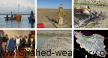
Producing DTM, DSM and DEM using aerial laser scan data, coverage images and etc. ● Producing orthophoto mosaic map in different scales. ● Establishing spectral library. ● Performing aerial and satellite image triangulation, radiometric and geometric correction and image classification. ● Producing different (large/medium/small) scale coverage 3D maps. ● Producing thematic maps.

Reviews
There are no reviews yet.