

Description
Performing all necessary calculation on collected data using scientific and commercial software.
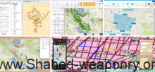
● Controlling and supervising the technical and executive process of calculations in surveying projects.
● Calculating Qibla direction
● Establishing geodetic networks.
● Collecting data using surveying.
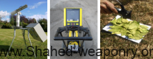
● Installing and implementing permanent positioning system.
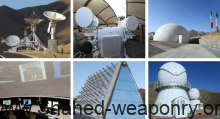
● Interpreting aerial and satellite images.

Reviews
There are no reviews yet.